
THE promise of snowfall is welcomed by many and dreaded by others.
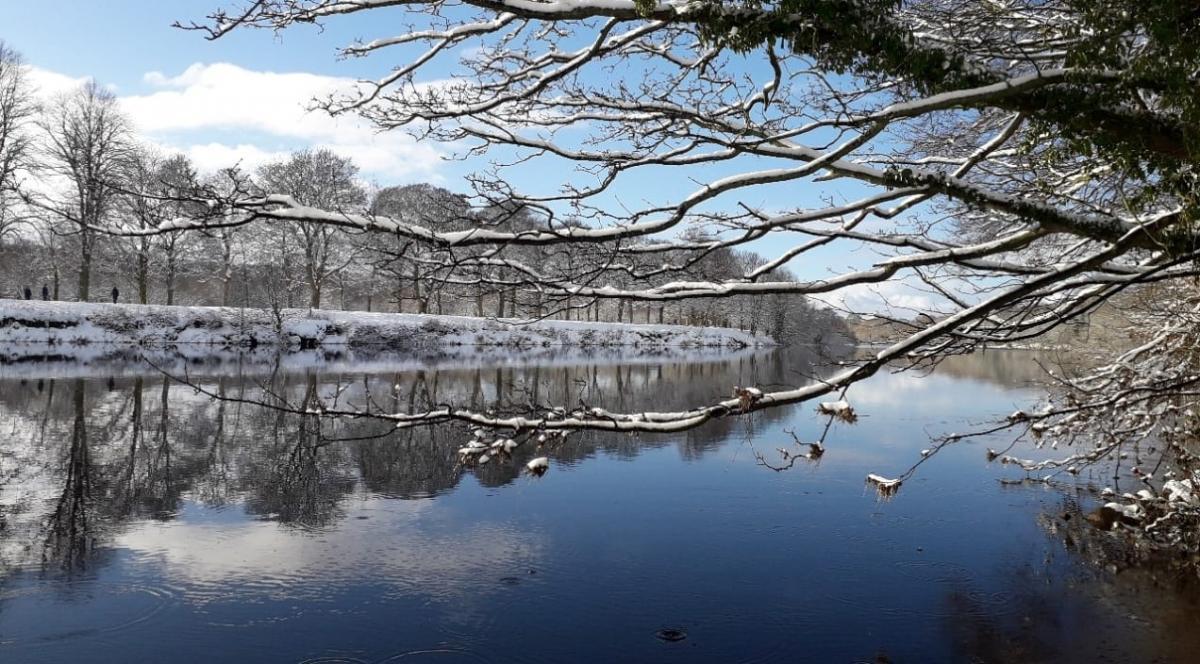
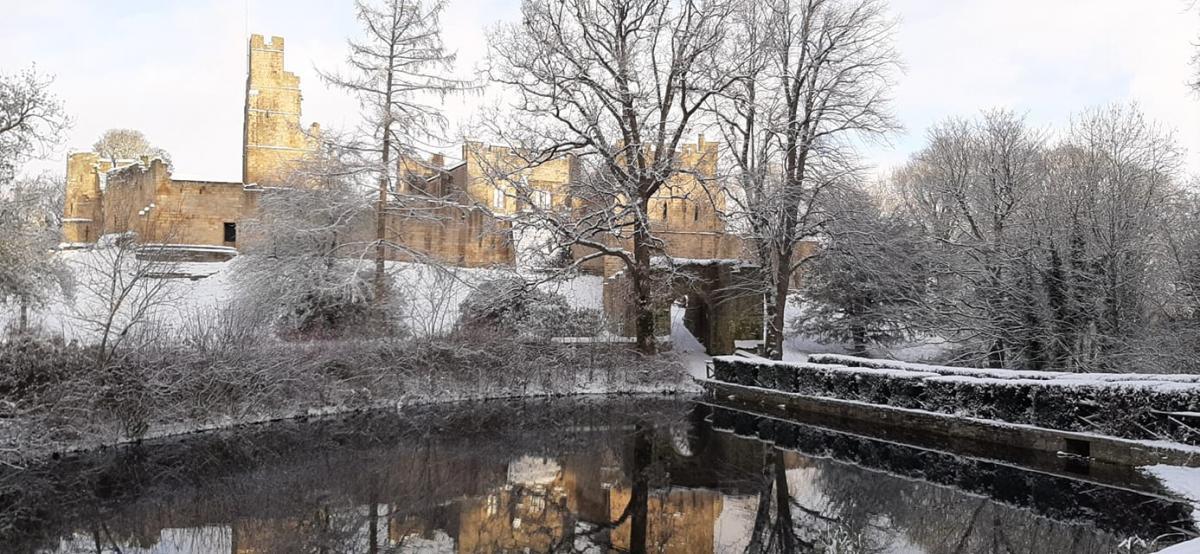
Whether you’re making a beeline for the best hill for sledging, satisfied with watching it come down from the confines of your cosy home or praying for it to pass, it’s always a spectacle to see Tynedale turn white.
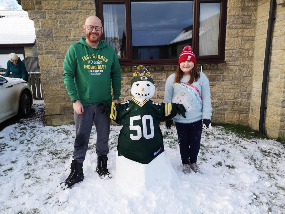
Of course, the extreme weather conditions can and do often cause disruption but for most, the fun of snowman building and snowball fighting prevails - for at least a day!
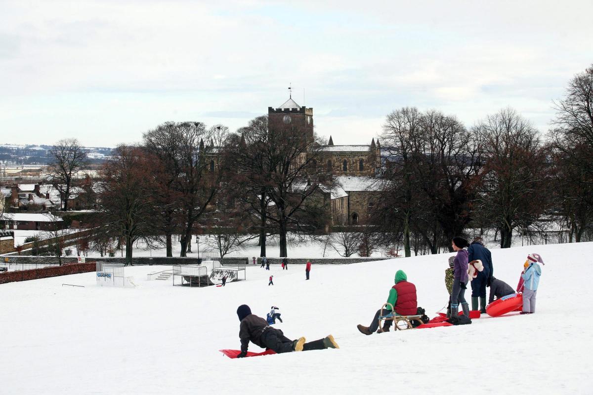
It may not have been a white Christmas and it was an even milder New Year, but if, and when, the snow decides to fall once again, hundreds will, no doubt, head for the Sele in Hexham - a popular sledging destination - or Allenheads as they’ve done for years to enjoy the fun of the great outdoors.
We’ve checked out the weather forecast for the coming week to help you prepare.
The Met Office has said colder air will supersede the unusually hot temperatures, meaning most places across the UK will see figures more typical of January.
Showers, merging occasionally into bands of rain, are predicted to move in from the west, with an increasing likelihood of turning wintry in the north.
Neil Armstrong, Met Office chief meteorologist, said: “The position of the jet stream and a low-pressure system to the west of Ireland over the next few days mean that a large amount of unusually warm air will be pulled up over the UK.
“While this means a very mild start to the New Year for most in the UK, it will soon be replaced by more ‘normal’ January conditions.
“These warm spells in winter are consistent with what we would expect with climate change, and while cold snaps cannot be ruled out, we would expect above-average temperatures like this to become a more frequent occurrence as the global climate warms.”


Comments: Our rules
We want our comments to be a lively and valuable part of our community - a place where readers can debate and engage with the most important local issues. The ability to comment on our stories is a privilege, not a right, however, and that privilege may be withdrawn if it is abused or misused.
Please report any comments that break our rules.
Read the rules here